ValTerra for 3ds Max
16 Sep 2026
【ValTerra把城市3D Tiles及OpenStreetMap帶入3ds Max】
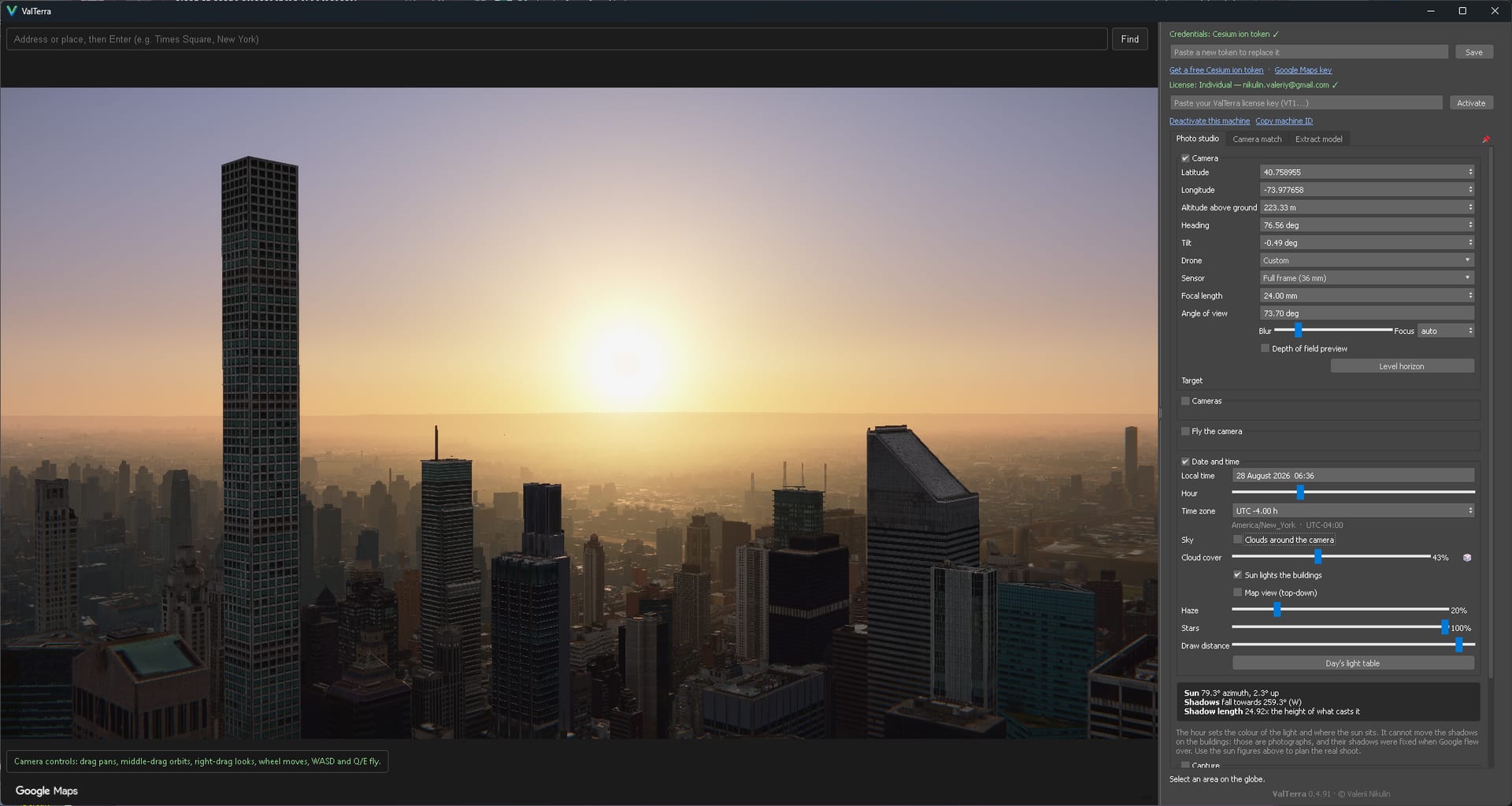
適用於Autodesk 3ds Max 的插件 ValTerra , 讓用戶在全球 3D globe 上按地理位置勘察日照, 並把 render camera 對準真實 drone 照片.
在輸入地址或座標後, 可串流當地 photorealistic 3D Tiles, 按日期與時刻預覽陰影、haze 及夜間燈光, 再把選定範圍的 geometry、camera 與日光 rig 匯入 scene.
schematic city 同道路來自 OpenStreetMap, 每次最多 4 km², 地形無面積上限;
免費 Lite 的 photorealistic 匯入上限為 0.25 km².
Drone 照片帶標準 metadata 即可建立 camera, 對點 refine 後, 開發者量度個案標示誤差約 0.56 px RMS;解算在本機完成 , 而照片不會上傳 .
ValTerra for 3ds Max 支援 3ds Max 2024 至 2027(Windows). 適用任何 renderer;啟用 Corona 時 ValTerra Sun 會轉為 CoronaSun .
產品授權為 perpetual、node-locked, Individual 現約 US$169/seat . 並提供 30 日全功能試用 !!
Photorealistic 3D Tiles 需自備 Google Maps Platform key 或 Cesium ion token.